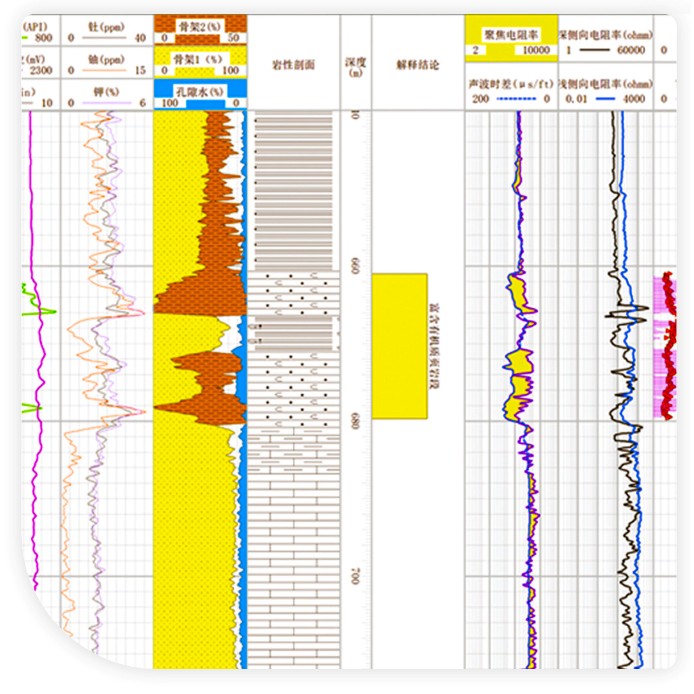
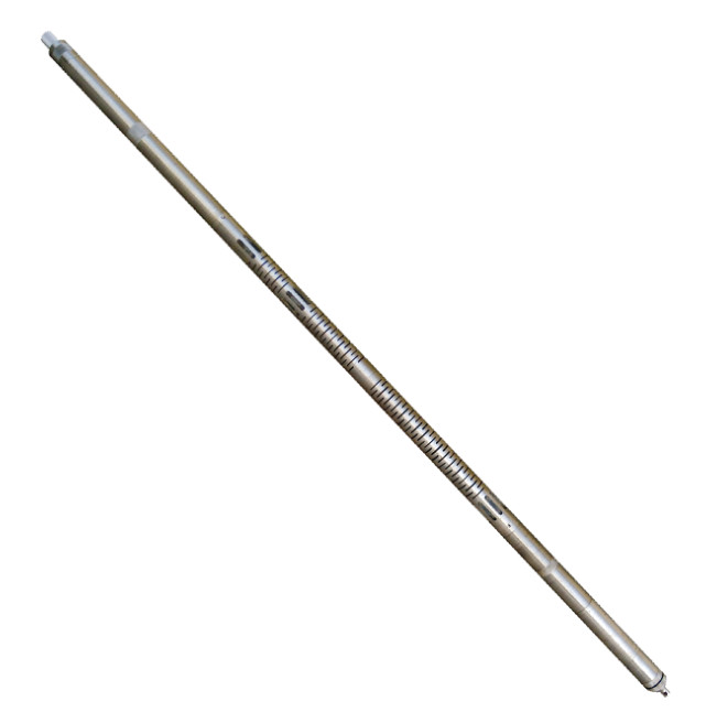
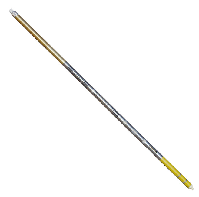
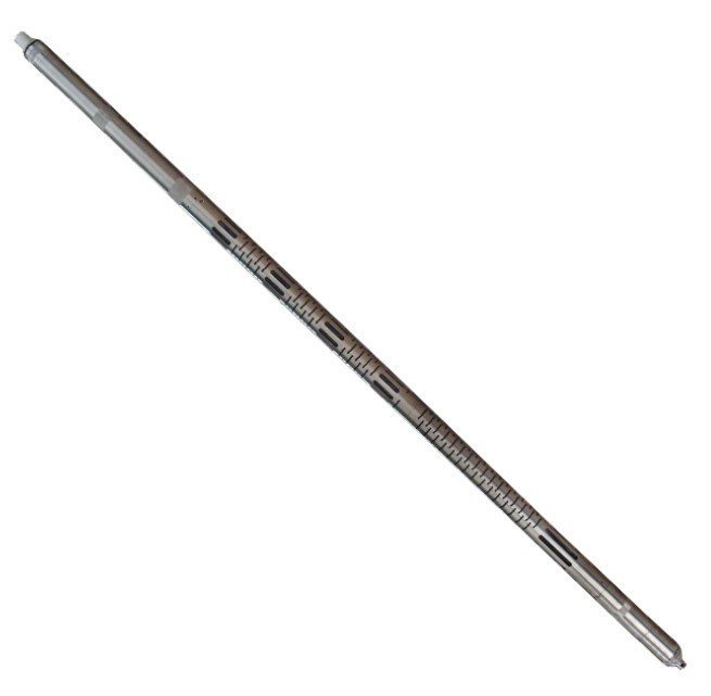
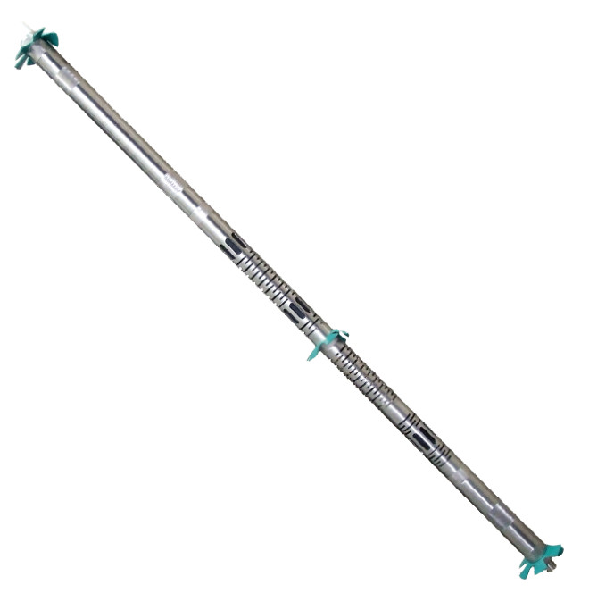
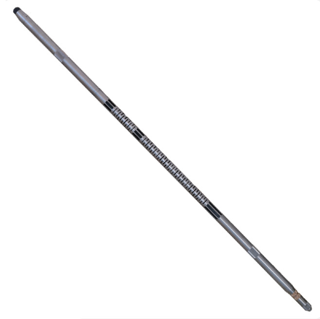
Ultrasonic imaging logging measures and records the geological features of the borehole wall such as bedding, fractures and cavities. It presents this information intuitively and vividly as a two-dimensional image, with formation attitude displayed clearly and richly, providing a sound scientific basis for studying the geological phenomena and features near the borehole.
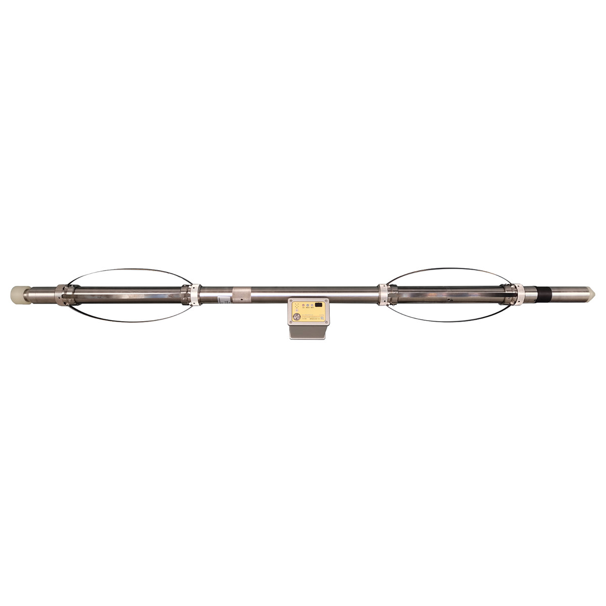
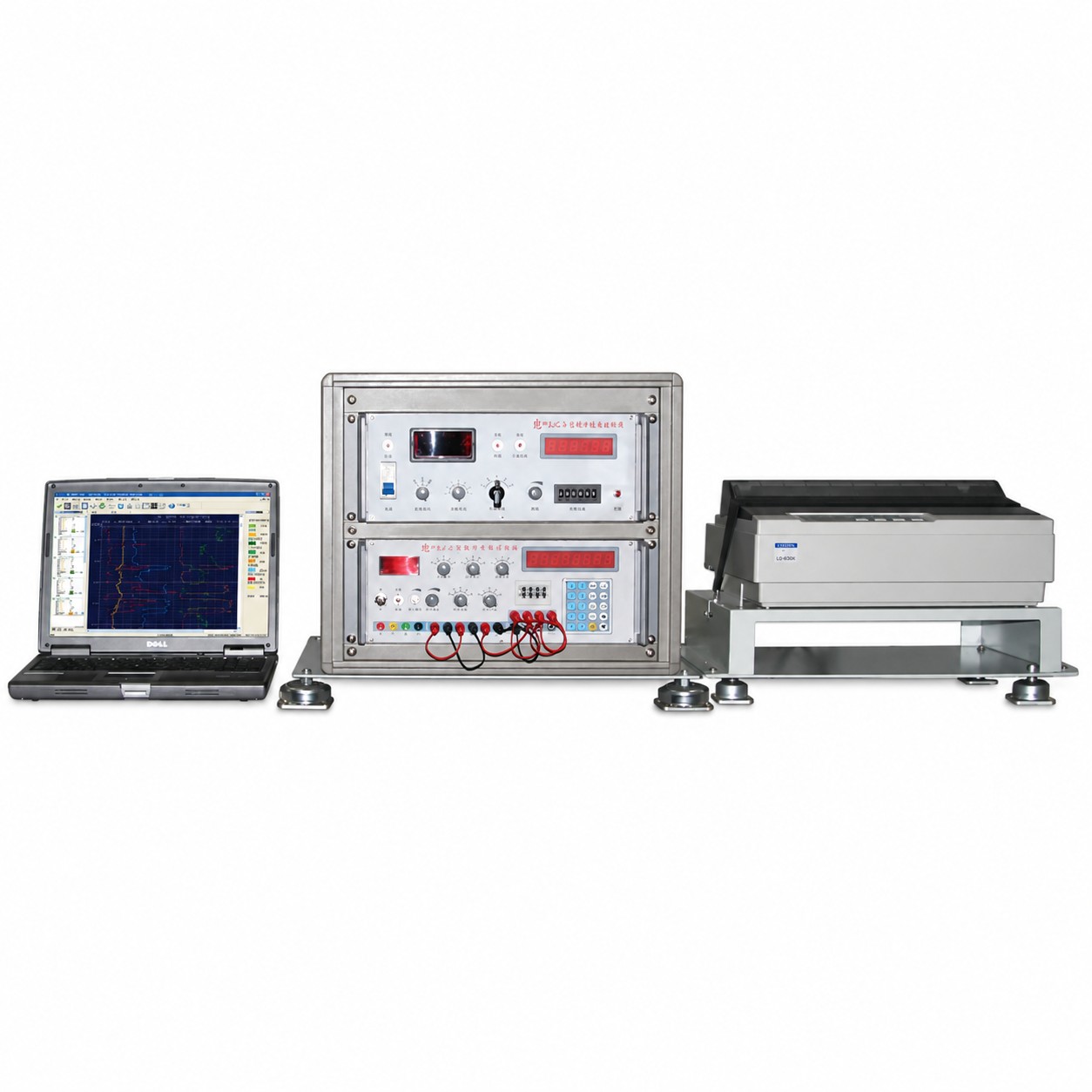
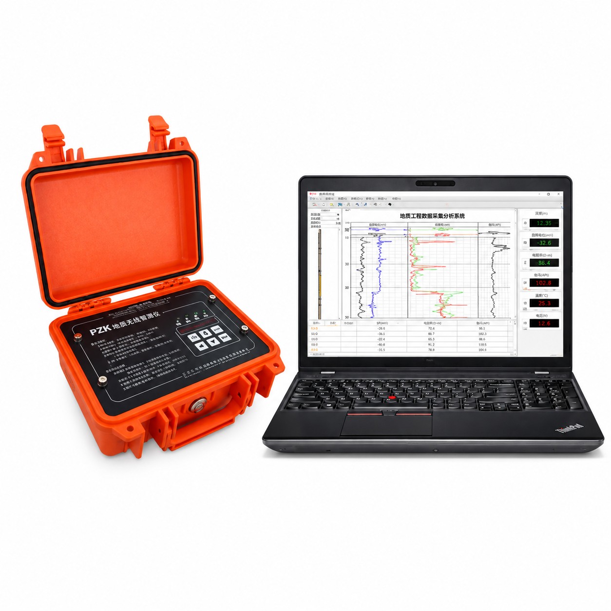
The acoustic borehole imaging system consists of a downhole tool, surface electronics, an acquisition computer and interpretation software. The downhole tool uses an ultrasonic transducer with axial rotating-scan measurement and two sets of centralizers at top and bottom. The acquired pixels are processed by the CPU and uploaded to the surface electronics in real time; the surface electronics then sends the data into the computer via a network port for image display.
Specification
Parameter
Fracture Dip (°)
Fracture Azimuth (°)
Caliper (mm)
Fracture Resolution
Range
0~90°
0~360°
60~400 mm
0.5 mm
Accuracy
≤0.2°
<±3°
±1 mm
—
leave a message
If you are interested in our products and want to know more details,please leave a message here,we will reply you as soon as we can.